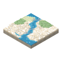
isometric istanbul
The streets and buildings of Istanbul, on its European and Asian sides, come together on an isometric map.
Isometric Istanbul is a free and non-commercial platform developed to promote the cultural and historical heritage of the city. The platform presents Istanbul as an illustrated isometric map.
The project was developed by following the example of isometric.nyc, made by Andy Coenen for New York, and tiny.london, made by Boris Starkov for London. It follows the method described in the tiny.london blog posts, in which the city is viewed from one fixed angle, the views are redrawn with AI models, and the drawings are joined into a map that can be zoomed.
Method
Choosing the data source
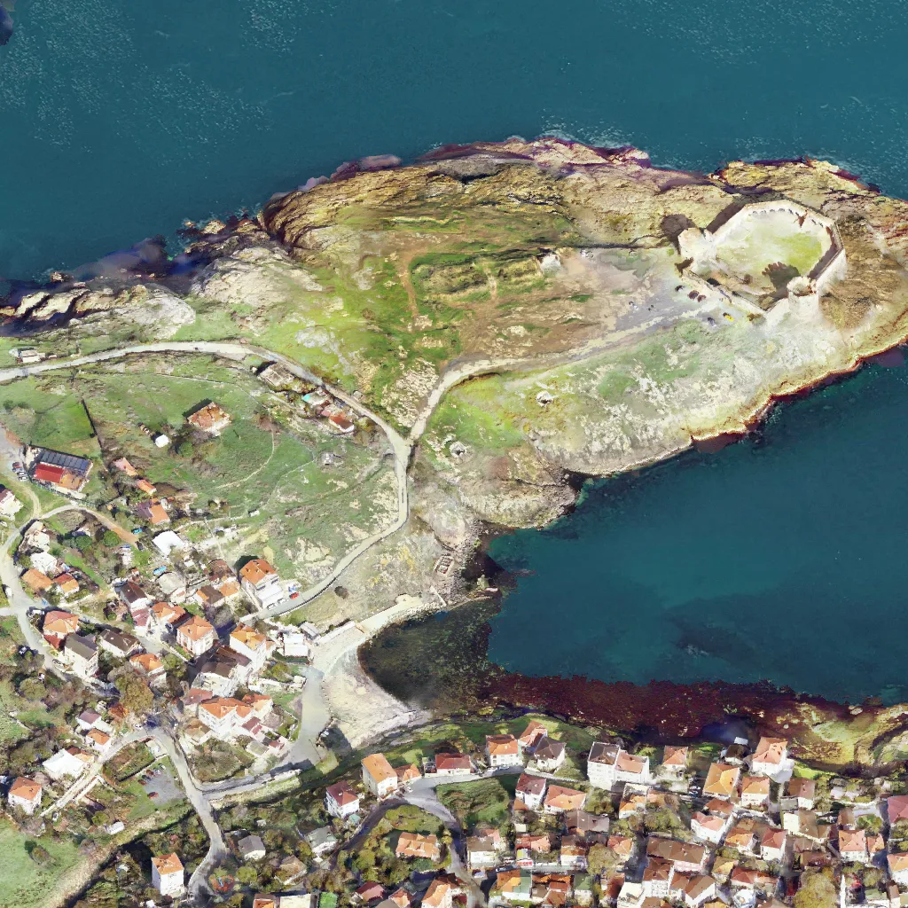
The data source of the map is 3B İstanbul, the 3D city model application of the İstanbul Metropolitan Municipality (İBB). The model was made from aerial photographs with a resolution of 10 cm. Only 2D images are used, and the 3D model itself is never saved.
Capturing the city
The isometric images of the city are captured tile by tile from the 3D city model on the 3B İstanbul website. The city is viewed from one fixed angle, with a heading of 315° and a tilt of approximately 54.7°, which gives a true isometric view. The city consists of 22,042 tiles, and with the 2,559 sea tiles outside the capture area, a total of 24,601 tiles was captured.
Choosing the drawing style
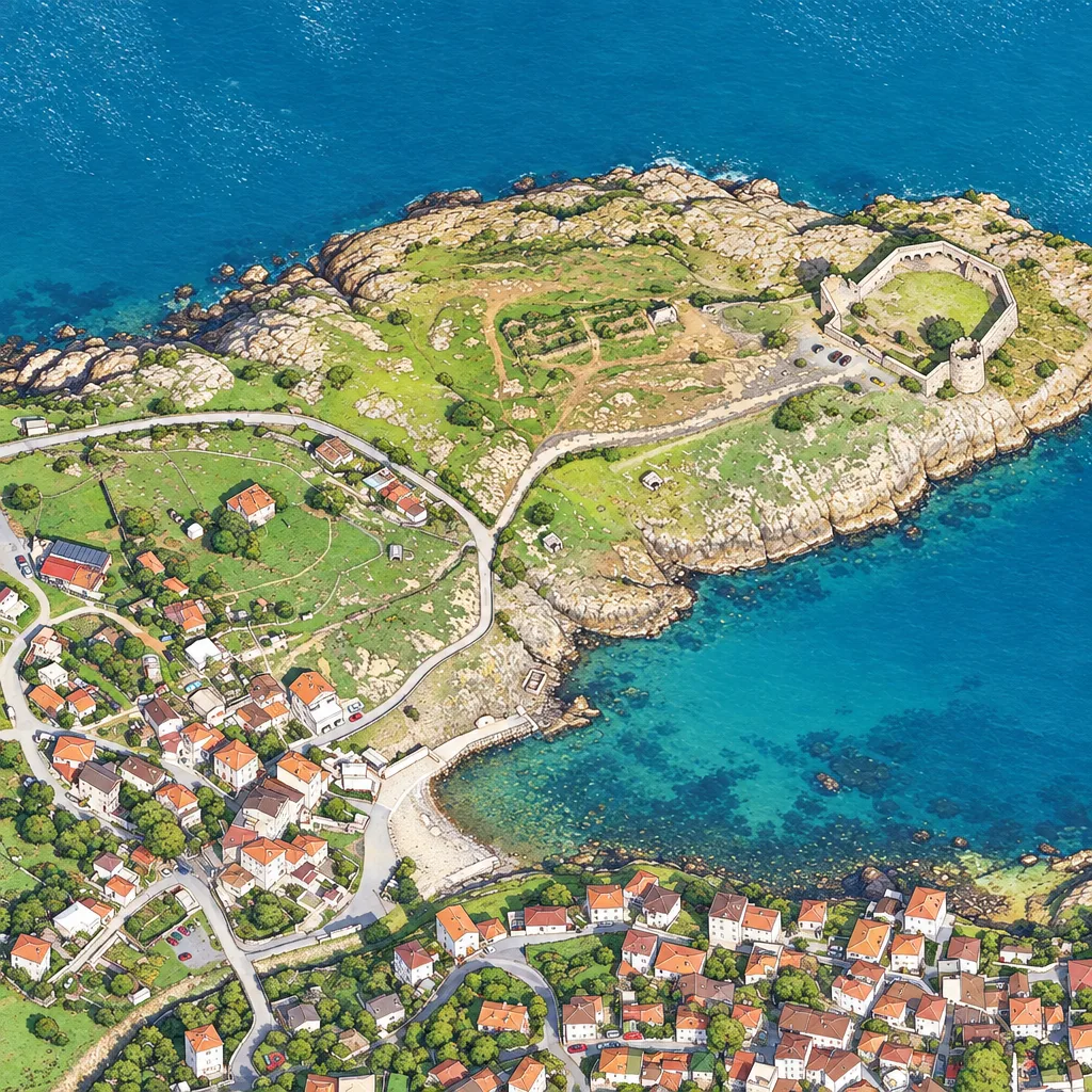
The drawing style was chosen in two stages, in which the models were compared on the same tiles. The instructions given to the model describe how to draw rather than what to draw.
The teacher model
Because GPT Image 2.5 is too slow and too expensive to draw the whole city, it prepares only the example drawings, and it is therefore called the "teacher model". The example set has 1,176 examples of the city, the open sea, marinas and 153 landmarks.
Choosing the student model
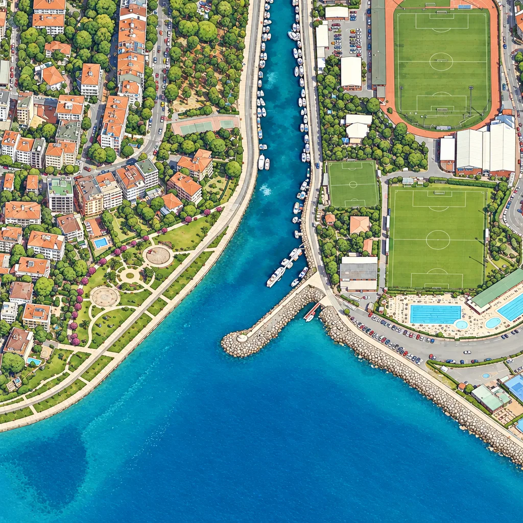
The student model is a smaller open-source model that learns from the drawings of the teacher model and draws the whole city at a low cost. Qwen-Image-2.1-Turbo was chosen as the student model because it draws every street and every building true to the source image.
Tuning the student model
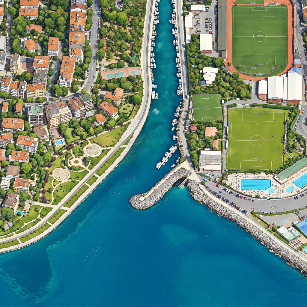
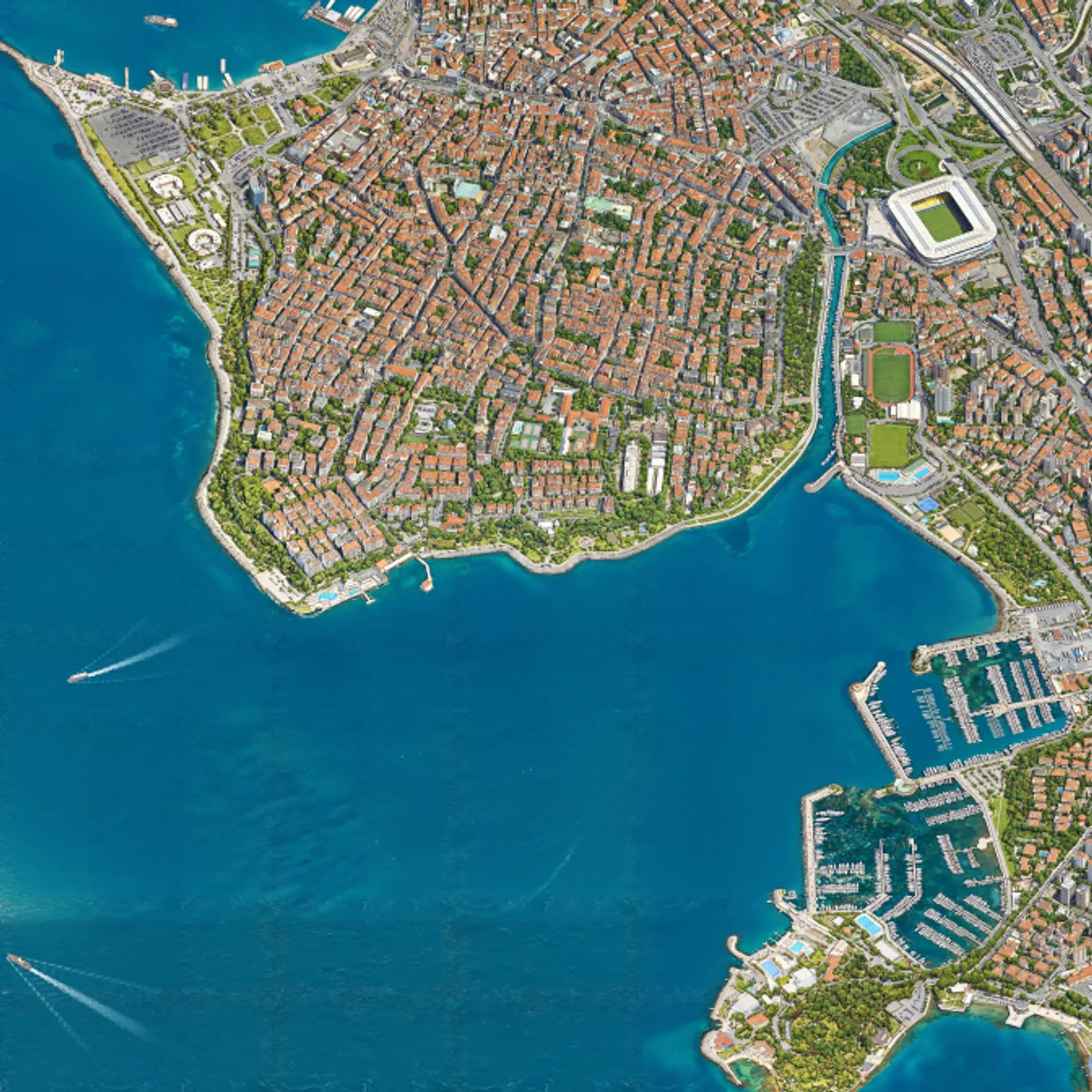
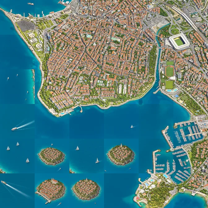
The student model was trained on 1,176 examples, and the map is drawn with this model. The model draws the city in large parts and in eight steps, so that even cars and boats are visible. The parts overlap, and the areas where they meet are smoothed, so no tile borders are visible on the map.
The control panel
The project is managed through a control panel that runs on the developer's local machine. The panel shows every tile on the map, the capture and training processes and the cost of each stage. In its review section, each example drawing is shown next to its source image and approved one by one.
Optimizations
The optimizations made along the way made capturing and drawing faster and improved the quality of the map.
Drawing on GPUs
The city is drawn in blocks on many GPUs that work at the same time, and each block adds 100 tiles to the map. During the drawing, 16 RTX 5090 cards and 20 RTX 3090 cards were used at the same time.
In the parts that are not drawn yet, the map shows darkened original images, so the progress of the drawing can be followed.
Sources and credits
| Source | Used for | Holder | Licence |
|---|---|---|---|
| 3B İstanbul | 3D city model | © İstanbul Büyükşehir Belediyesi | İBB Open Data Licence |
| Google satellite imagery | Sea imagery | Google Maps Platform terms | |
| GPT Image 2.5 Sunburst | Teacher model drawings | OpenAI | OpenAI Terms of Use |
| Qwen-Image-2.1-Turbo | Base of the drawing model | Alibaba Qwen team | Qwen Research License |